Loading…

Click to Unmute
- Restart
- Copy link

Yagya
Description
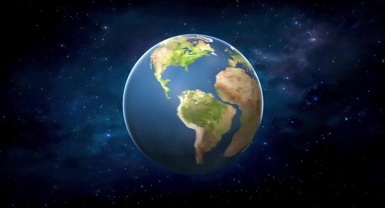
A 3D model of the Earth rotates, displaying a color-coded topographical map where red and orange areas represent higher elevations and blue areas represent lower elevations, with a scale in meters shown on the right. The globe continuously spins, revealing different continents and ocean basins as the color gradient shifts across its surface.

Similar coubs



Yagya
Be the first to share your thoughts!