Loading…

Click to Unmute
- Restart
- Copy link

USA
Description
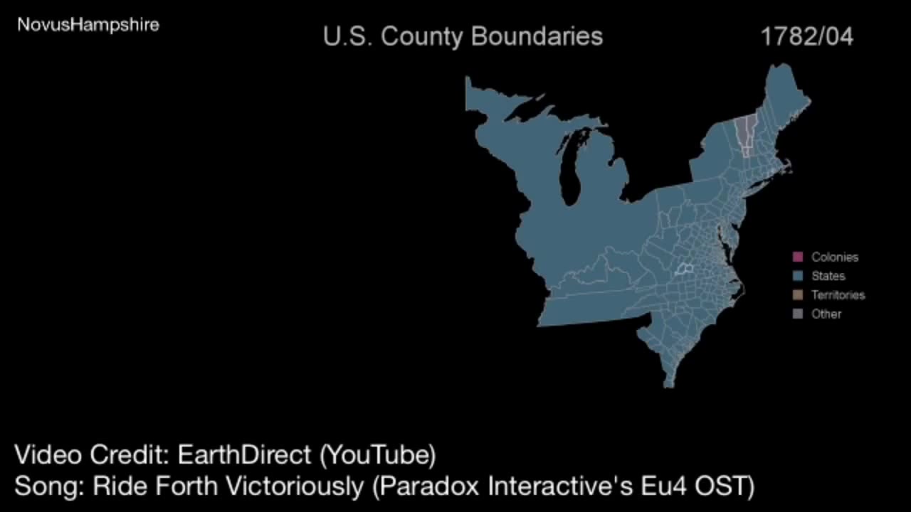
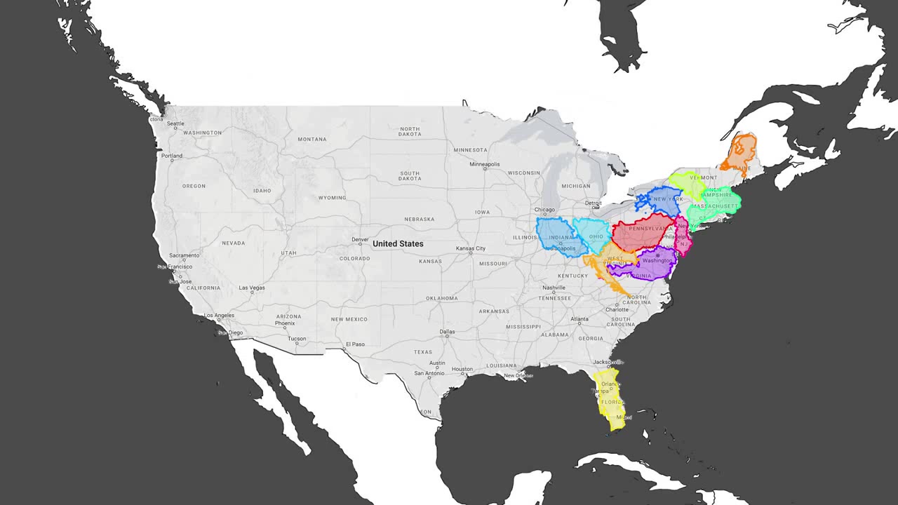
A series of historical maps of the United States displays the expansion of its territory from 1803 to 1861, with different regions highlighted in yellow and labeled with their names and dates of acquisition. The sequence shows the gradual addition of new states and territories, culminating in a final map where the entire continental United States is filled with a blue background patterned with white stars.
Similar coubs



USA
Be the first to share your thoughts!