Click to Unmute

  • Restart
  • Copy link
bauer2000
·Sep 28, 2016

Description

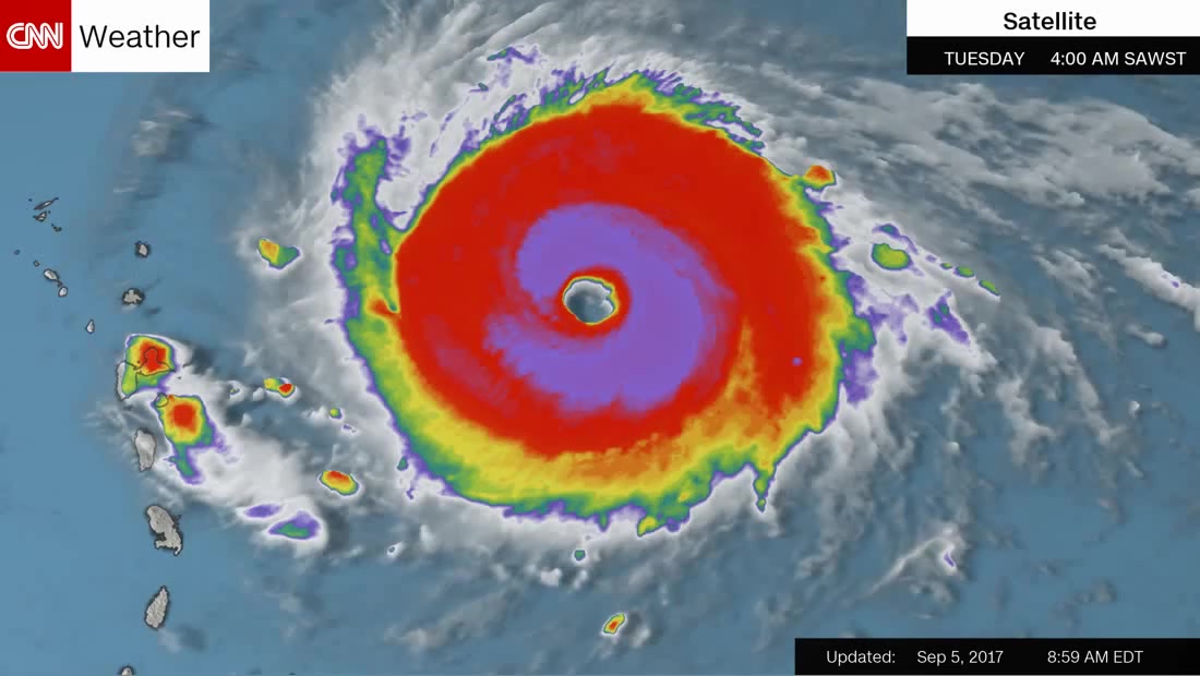
A satellite image shows a large tropical cyclone over the western Pacific Ocean, with its central eye and surrounding rain bands slowly rotating and shifting position over time. The storm's structure, indicated by color-coded intensity, evolves across the loop, with the most intense convection shown in red and yellow, while the surrounding cloud cover moves and changes shape.

Nature & Travel
Comments
Feedback
bauer2000 is looking for feedback.
Be the first to share your thoughts!
Similar coubs
Hope everyone affected is staying safe!
1,155 views
A highly intensive typhoon named Haishen (Source: Himawari-9)
8,488 views
PUER: the eternal child
5,070 views
Hurricane Irene showed its fierce power.
358 views
Typhoon is coming
Typhoon is coming
6,699 views
Tornado cloud🌪🌫
Tornado cloud🌪🌫
13,437 views
The flight is going normally.
7,056 views
HURRICANE MATTHEW DISS pt.3
346 views
Category 5 Hurricane Dorian
20,967 views
Mesmerizing Lightning of Hurricane Dorian
770 views