Loading…
Click to unmute
- Restart
- Copy link

Kombat-TPM
Description
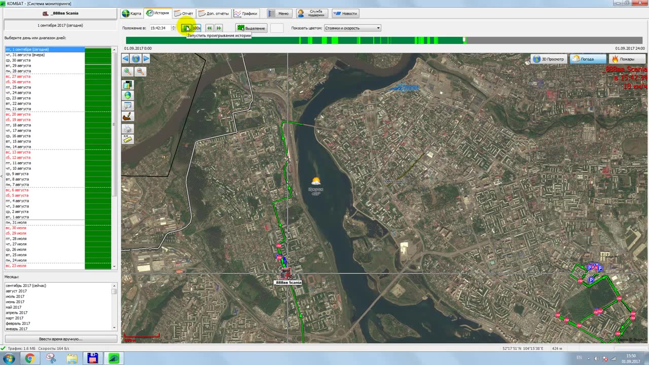
a computer screen with a satellite map interface, showing a river cutting through a city. A green line traces a route across the map, with various colored icons and markers moving along it, indicating the real-time tracking of multiple vehicles or assets. The interface includes a list of tracked items on the left and a timeline at the top, suggesting a live monitoring system for transportation or logistics. The scene remains static throughout, with no changes in the map or interface elements.
Sources


Комбат-ТПМ
Be the first to share your thoughts!